General info:
▪ Model:
Canon EOS DIGITAL REBEL XTi
▪ Make:
Canon
Basic shot info:
▪ Focal Length:
35.0 mm (35mm equivalent: 57mm)
▪ Aperture Value:
F8
▪ F-Number:
F8
▪ Shutter Speed Value:
1/320 sec
▪ ISO Speed Ratings:
100
▪ Flash:
Flash did not fire, auto
Advanced shot info:
▪ Exposure Bias Value:
0 EV
▪ Exposure Time:
1/320 sec
▪ Exposure Mode:
Auto exposure
Exif-related info:
▪ Date/Time:
2007:11:11 13:43:32
▪ Exif Image Width:
3888 pixels
▪ Exif Image Height:
2592 pixels
HOME
»
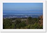
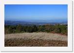
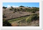
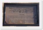
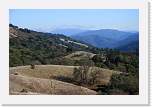
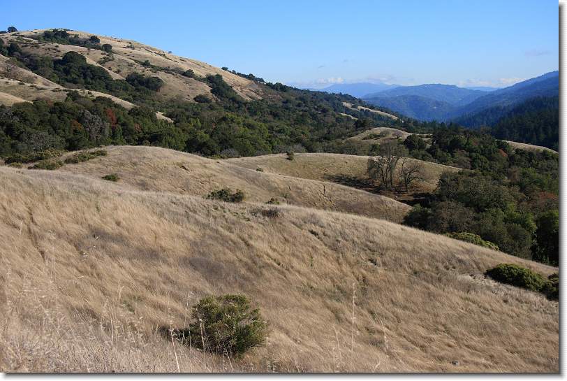
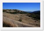
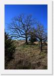
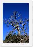
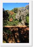
Los Trancos Earthquake Hike, November 2007
»
Viewing
lostrancos08
[Image 7 of 29]
lostrancos08.JPG - 11/11/07 1:43 PM
View along the San Andreas fault. Loma Prieta ('89 quake) in the distance.
Leave a
comment
on this album. Sign my
guestbook
. View my
blog
.
All images copyright Matthew Abrams
Album last updated on 11/25/07 2:14 PM
Powered by
JAlbum 7.1
and
BluPlusPlus
skin